
American farmers are feeding more people from less land thanks to new technologies and more efficient farming.
An innovative infographic from Bloomberg based on a report by the United States Department of Agriculture’s Economic Research Service on major uses of land shows the degree to which the country uses land for food production. To see this impressive infographic, visit Bloomberg.com
The USDA report is updated annually using a combination of state data, years of Census of Agriculture data and newer technologies such as satellite imaging. Land use types are put into six categories: Pasture/range, forest, cropland, special use, miscellaneous and urban with agricultural lands only occupying about one-fifth of nearly 2.3 billion acres of U.S. land.
The Bloomberg infographic shows that some cropland is left untouched so that the land can recover and regenerate. Another 100 million acres are dedicated to parks and wilderness. More than 100 million acres of special-use areas are park and wilderness areas, where most commercial activities, such as logging, mining, and grazing, are excluded.
More than one-third of U.S. land is used for pasture—by far the largest land-use type in the contiguous 48 states. And nearly 25 percent of that land is administered by the federal government, with most occurring in the West. That land is open to grazing for a fee.
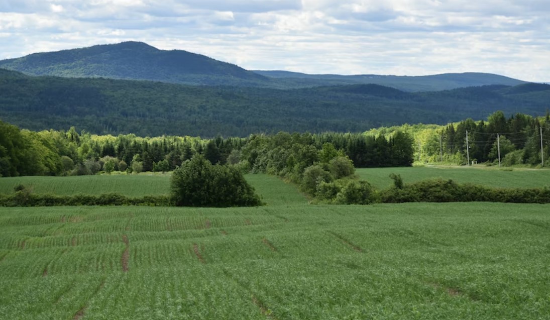
Forestland is the last major category of land categorized by the USDA. Unprotected forests and timberland constitute a quarter of the contiguous U.S.